Profile
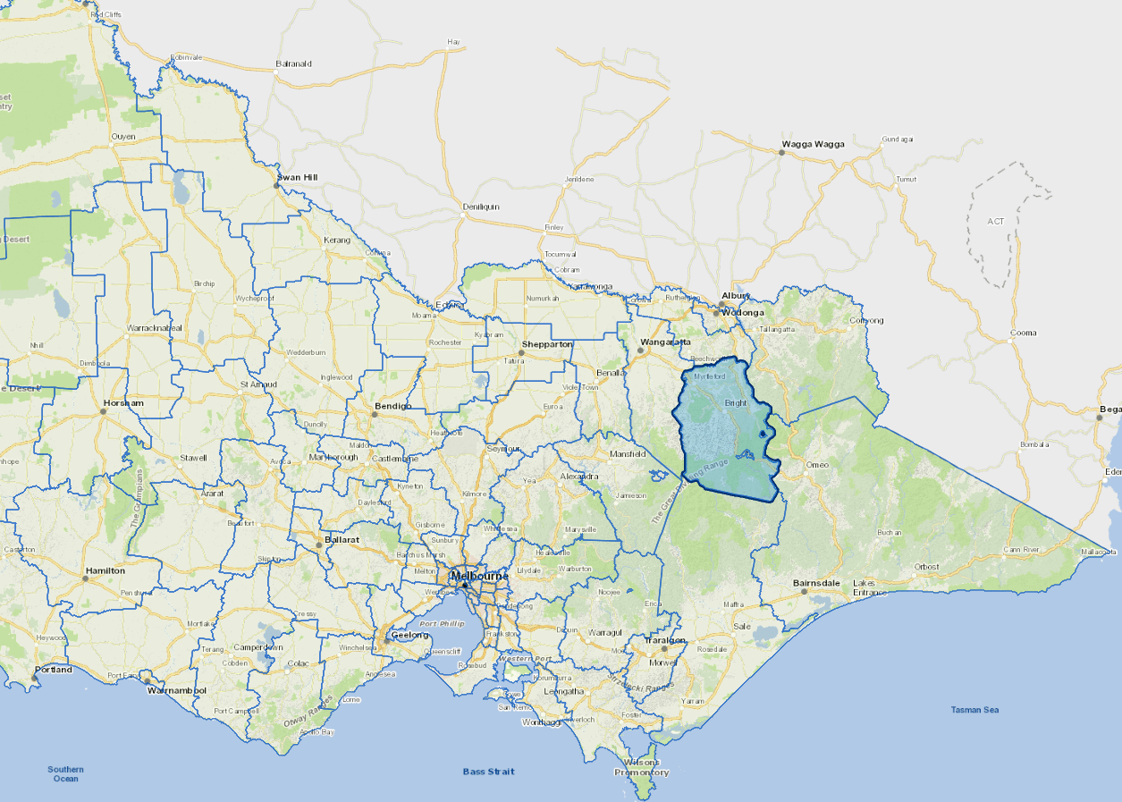
The Alpine Shire is about 300 km north east of Melbourne and 70 km south of Albury/Wodonga, with a land area covering 4,790 square kilometres.
About 92% of the shire is public land including parts of the Alpine National Park and all of the Mount Buffalo National Park. Most of the freehold lands are alluvial flood plains along the Ovens, Kiewa and Buffalo Rivers together with the adjoining gentle slopes and hills.
The Shire's economy is based on tourism, forestry and agriculture.
Localities
Abbeyard, Barwidgee, Bogong, Bright, Buckland, Buffalo Creek, Buffalo River, Cobungra, Coral Bank, Dandongadale, Dargo, Dederang, Dinner Plain, Eurobin, Falls Creek, Freeburgh, Gapsted, Germantown, Glen Creek, Gundowring, Harrietville, Havilah, Hotham Heights, Kancoona, Kergunyah South, Merriang, Mongans Bridge, Mount Beauty, Mount Buffalo, Mount Hotham, Mudgeegonga, Myrtleford, Nug Nug, Ovens, Porepunkah, Rosewhite, Running Creek, Selwyn, Smoko, Tawonga, Tawonga South, Upper Gundowring, Wandiligong, Wongungarra and Wonnangatta.
Vicmap Basemap Services @ 2023 State Government Victoria | Copyright and Disclaimer
For a detailed map showing shire boundaries and locality names, visit VICNAMES.
Further information
Updated