Profile
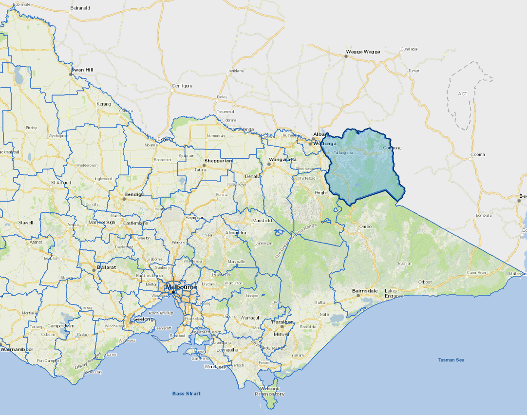
Towong Shire is a pristine rural and relatively unpopulated area.
The economy of the shire is based around primary production, particularly agriculture and forestry.
There are many small towns in the municipality, such as Corryong and Tallangatta, that service these industries.
Localities
Bellbridge, Berringama, Bethanga, Biggara, Bullioh, Bungil, Burrowyne, Colac Colac, Corryong, Cudgewa, Dartmouth, Eskdale, Georges Creek, Granya, Guys Forest, Huon, Jarvis Creek, Koetong, Lucyvale, Mitta Mitta, Mount Alfred, Nariel Valley, Old Tallangatta, Pine Mountain, Shelley, Talgarno, Tallandoon, Tallangatta, Tallangatta East, Tallangatta South, Tallangatta Valley, Thologolong, Thowgla Valley, Tintaldra, Tom Groggin, Towong, Towong Lower and Walwa.
Vicmap Basemap Services @ 2023 State Government Victoria | Copyright and Disclaimer
For a detailed map showing shire boundaries and locality names, visit VICNAMES.
Further information
Updated