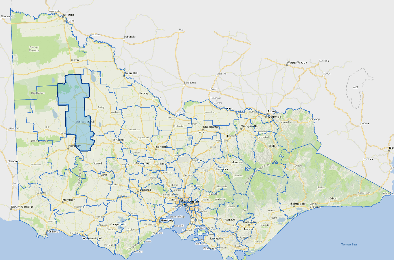
Profile
The Shire of Yarriambiack is situated in north-western Victoria, in the heart of the State's wheat belt.
The population is concentrated in a number of small towns which service the surrounding broadhectare farming properties.Yarriambiack Shire is the heartland of grain production and handling in the Wimmera and Mallee.
The main industry is agriculture which accounts for almost half the workforce.
Yarriambiack is part of the Small Shire council grouping and can be compared with similar councils. More information on council groupings can be found here.
Localities
Ailsa, Albacutya, Angip, Areegra, Aubrey, Bangerang, Beulah, Boolite, Brim, Cannum, Crymelon, Hopetoun, Hopevale, Jung, Kellalac, Kewell, Laen, Lah, Lascelles, Lawler, Longerenong, Lubeck, Minyip, Murra Warra, Murtoa, Patchewollock, Rainbow, Rich Avon West, Rosebery, Rupanyup, Sheep Hills, Speed, Tempy, Turriff, Wallup, Warracknabeal, Wilkur, Willenabrina, Woomelang, Wyperfield National Park, Yaapeet and Yarto.
Vicmap Basemap Services @ 2023 State Government Victoria | Copyright and Disclaimer
For a detailed map showing shire boundaries and locality names, visit VICNAMES.
Further information
Updated